C-RISe Training Programme and Capacity Building
One of the primary C-RISe objectives is to build local capacity in using satellite data to provide scientific decision support for strategy development, governance and management of coastal areas to increase resilience to coastal hazards.
The development of local capacity to use coastal altimetry data in combination with other data sets and information sources is seen as a key target, necessary to ensure a viable long-term service.
Training is being provided through a series of workshops (in Mozambique and Madagascar) together with online training material. These tools include Bilko (see https://www.learn-eo.org/software.php) a tool first developed for UNESCO to provide a free earth observation (EO) image processing capability for education use, which is being updated to include data from the Sentinel satellites.
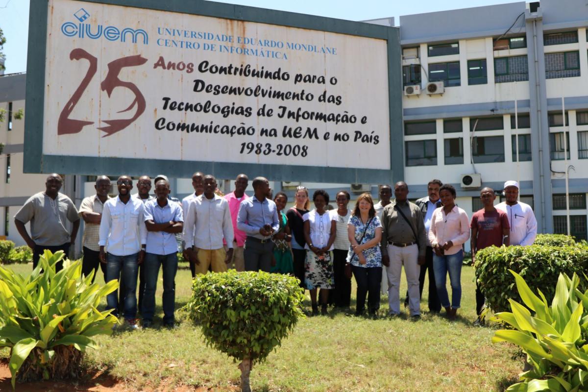
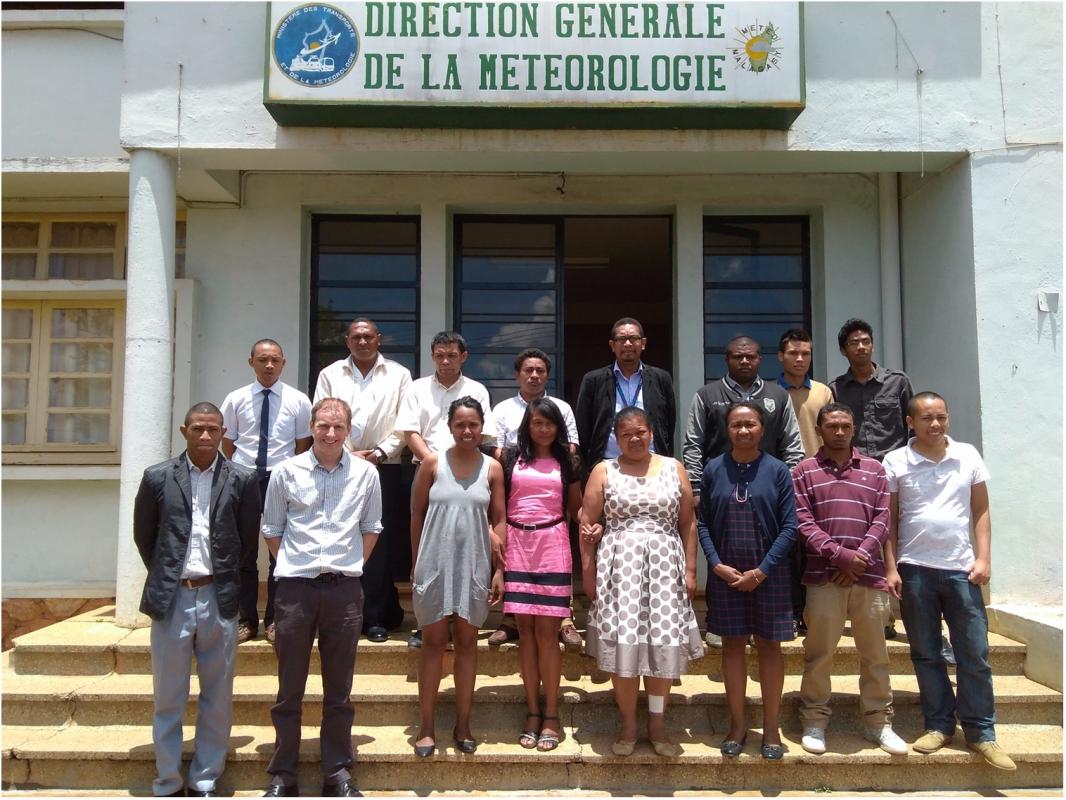
First Training Workshops: “Wind, Wave and Sea Level Information from Satellites”
- 26–30 October 2017 Universidade Eduardo Mondlane, Maputo, Mozambique (Workshop Report)
- 27 November – 1 December 2017 Direction Générale de la Météorologie, Antananarivo, Madagascar (Workshop Report)
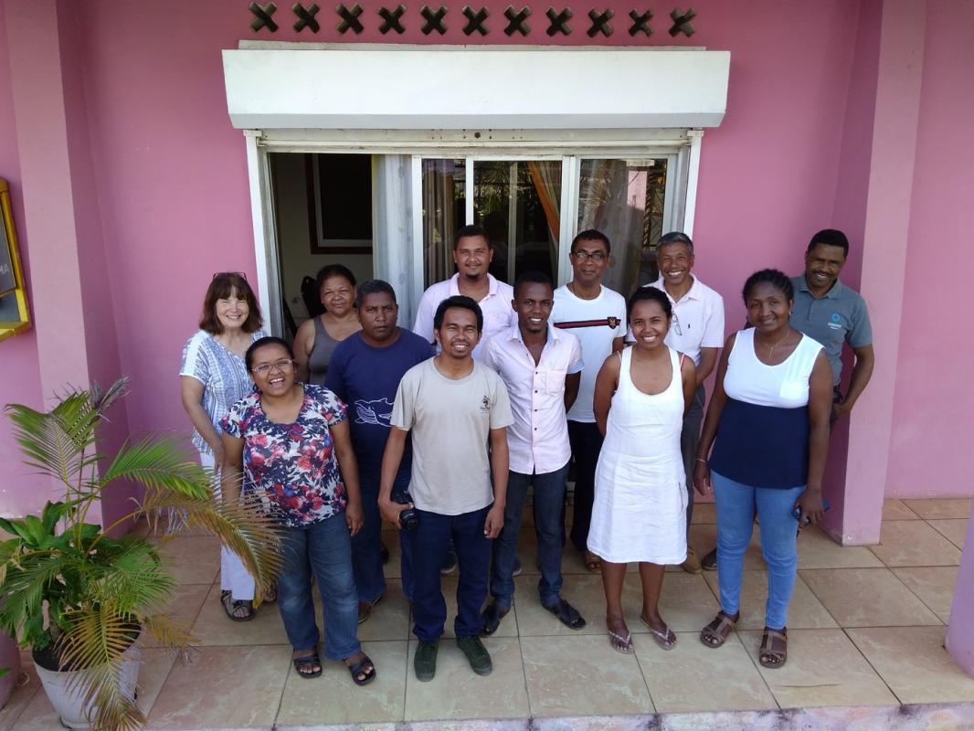
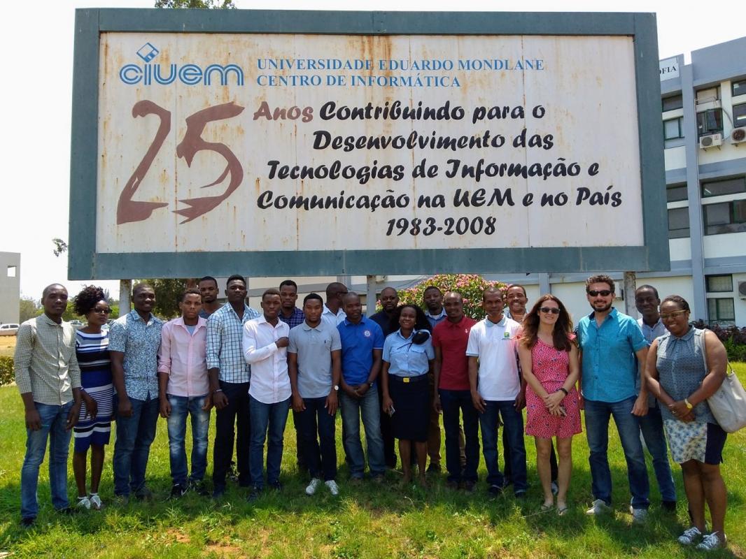
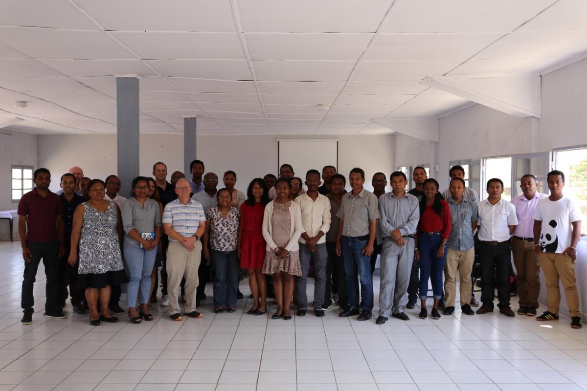
Second Training Workshops: “Applying Satellite Data to Coastal Risk”
- Course Overview
- 1–5 October 2018. Centre National de Recherches Océanographiques, Nosy Be, Madagascar
- 8–12 October 2018. Universidade Eduardo Mondlane, Maputo, Mozambique
- 15–19 October 2018. Direction Générale de la Météorologie, Antananarivo, Madagascar
Training resources
Download presentations from First Training Workshops
C-RISe software guidelines and support
Download presentations from Second Training Workshops